


 Aperçu
Produits d'investigations terrestres
Équipements terrestres
- Systèmes GNSS pour topographie/construction
- Stations de référence pour réseaux
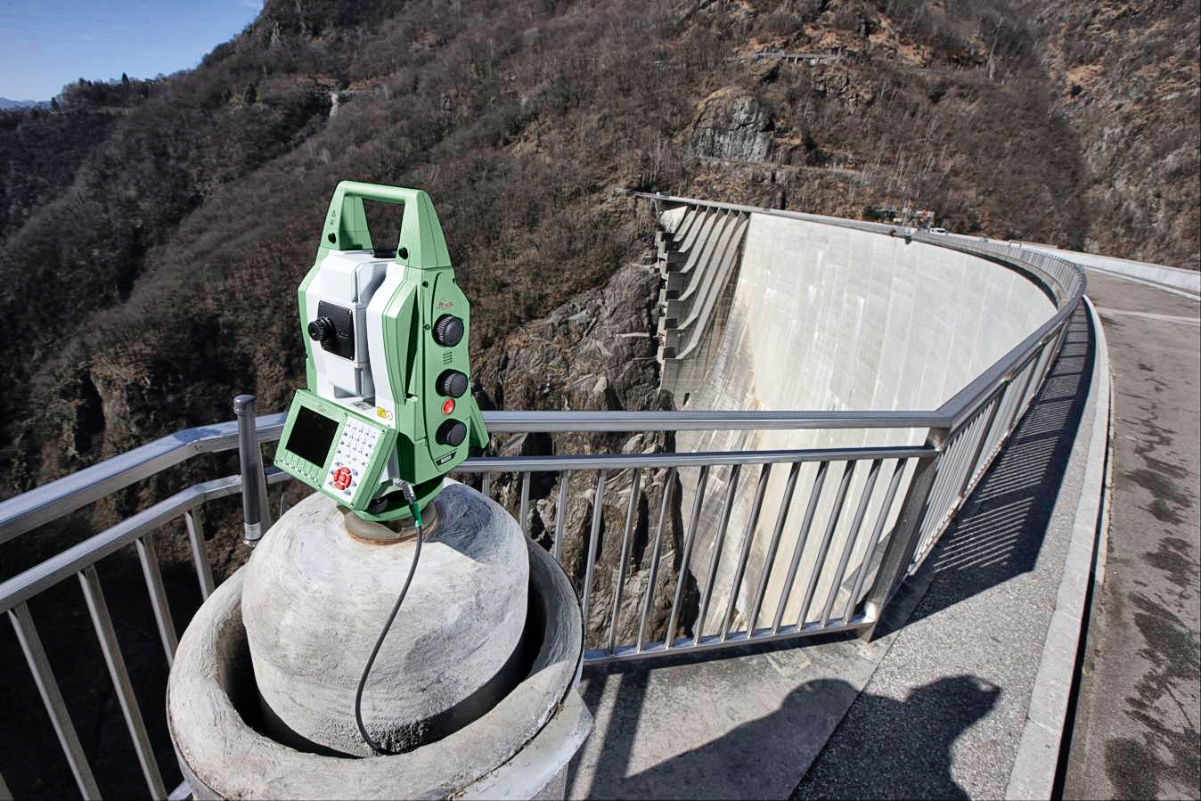
- Stations totales/multistation pour topographie/construction
- Scanner laser statique
- Scanner laser dynamique
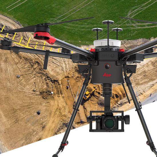
- Drone aérien
- Guidage de machine
- Auscultation
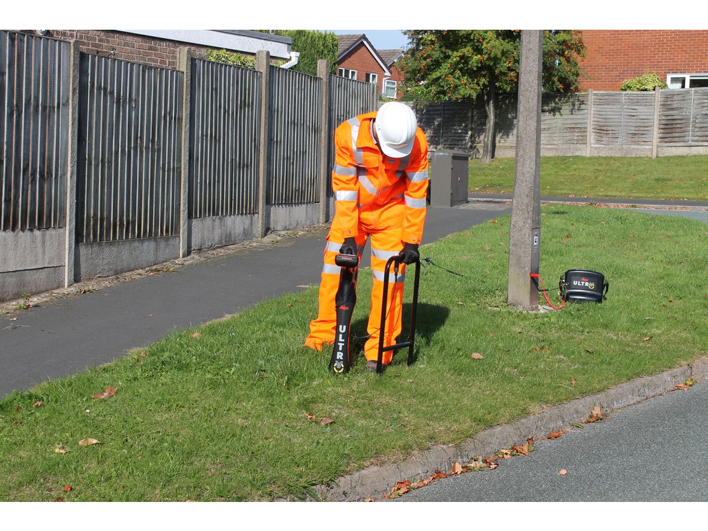
- Détection de réseaux
- Instrumentation pour le bâtiment
- Instruments pour le SIG
Systèmes GNSS pour topographie/construction
Systèmes GNSS pour topographie/construction : équipements terrestres GNSS pour la topographie et/ou la construction terrestre.
Aperçu  Aperçu
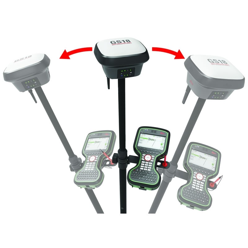
 Leica GS18I – Mobile GNSS
Dernier né de la gamme GNNS créé par Leica, [...]
 Aperçu
 Leica GS18T – Mobile GNSS
 Aperçu
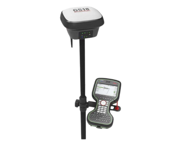
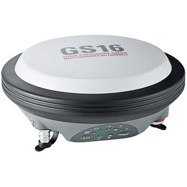
 LEICA GS16 – Antenne GNSS intelligente
Le GS16 est un récepteur polyvalent conçu [...]
 Aperçu
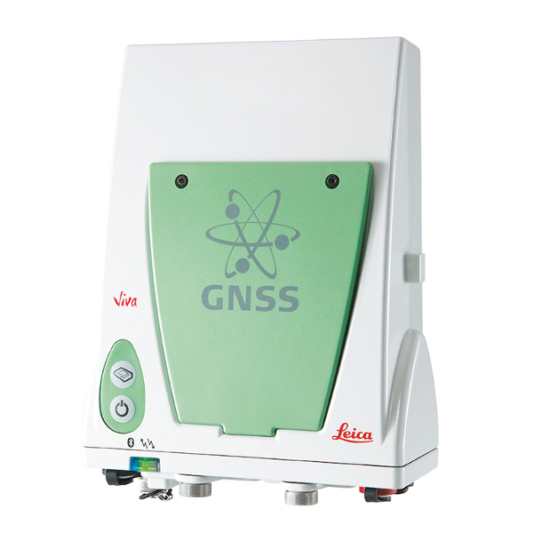
 LEICA GS10
Les récepteurs de haute précision Leica Viva [...]
 Aperçu
 LEICA GS07
Il s'agit d'un équipement léger et robuste, [...]
 Aperçu
 LEICA Zeno GG04+
Recueillir des données géospatiales de haute [...]
 Aperçu
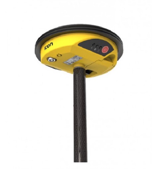
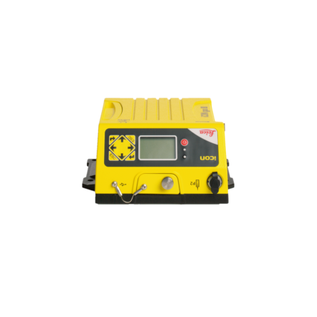
 LEICA iCON ICG30
La Smart Antenne Leica iCON gps 60 GNSS est [...]
 Aperçu
 Réseaux de stations permanentes GNSS ORPHEON
Orphéon est un système de corrections GPS [...]
 Aperçu
 LEICA iCON CC80
 Aperçu
 LEICA Infinity – Logiciel de topographie 3D
Leica Infinity est un logiciel de topographie [...]
 Aperçu
 LEICA iCON ICG80
Le capteur d’engin GNSS Leica iCON gps 80 [...]
1 2